Fort York Wayfinding Interactive
The Fort York National Historic Site in Toronto, Ontario is the site of an important 18th-century fort, which was destroyed in a battle during the War of 1812. For the new visitor center, I designed an interactive wayfinding map which helps visitors find their way around the visitor center, the historic fort and the surrounding neighborhood.
The Fort York National Historic Site in Toronto, Ontario is the site of an important 18th-century fort, which was destroyed in a battle during the War of 1812. For the new visitor center, I designed an interactive wayfinding map which helps visitors find their way around the visitor center, the historic fort and the surrounding neighborhood.


Wireframe/Prototype
Using Balsamiq, I produced an interactive wireframe/prototype for the Fort York Wayfinding interactive. These screens give an idea of the different ways I envisioned users using the touchscreen to find their way around.
1) By exploring the map
2) By browsing a list of interesting locations
I wanted to honor the different ways people enjoy exploring — both by browsing, and by looking at a map. A third option — to watch three videos provided by Parks Canada — was eventually not included in the final design.
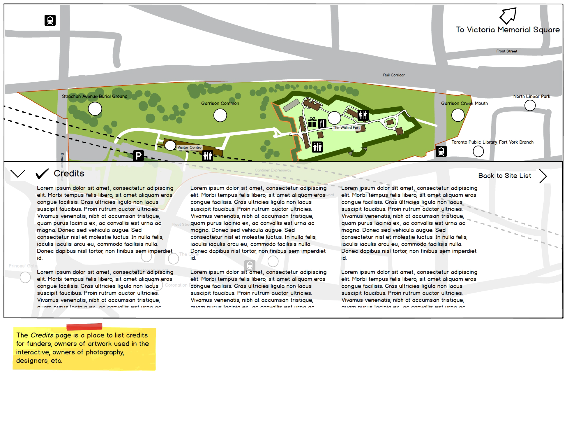
This wireframe stage is obviously for a review of functionality, not of final look. The prototype included more than 60 screens, which all represented possible states for the interactive.


Finished Designs
In the end, although certainly more polished, the final design did not stray too far from the wireframes.


Fort York Wayfinding in action
This video gives a sense of the animations that help visitors get a sense of depth and scale about the visitor centre and the scale of the Fort York National Historic Site in Toronto.